ELLIPSE GEO-SURVEYS
PRECISIONBEGINSWITH DATA.
Reliable surveying, mapping and geospatial intelligence for land, development, construction and infrastructure.
EXPLORE OUR SERVICES→What we do
Four disciplines.
One standard of precision.
01 / LAND SURVEYING
LANDSURVEYING& MAPPING
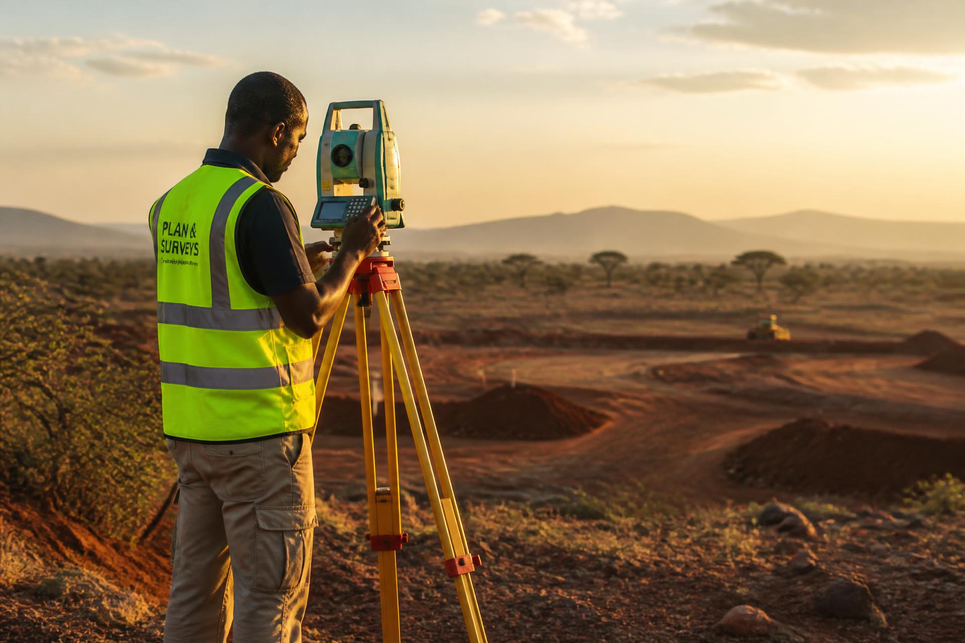
Boundary surveys, topographical surveys, subdivision, beaconing, area determination and property mapping.
02 / ENGINEERING
ENGINEERING& CONSTRUCTIONSURVEYS
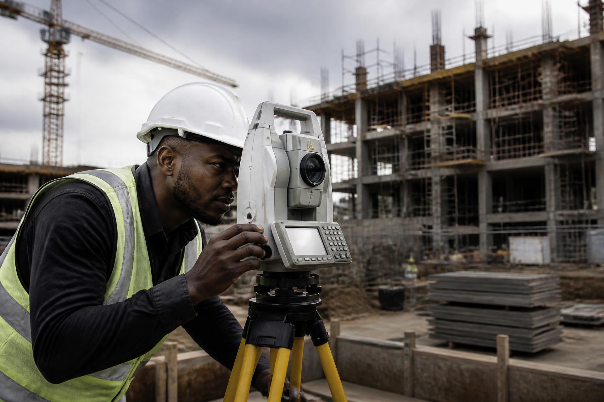
Site surveys, setting out, levelling, control surveys and as-built surveys for construction and infrastructure work.
03 / AERIAL MAPPING
DRONE& AERIALMAPPING
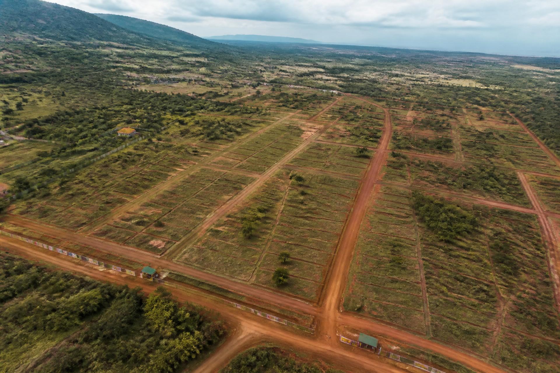
Aerial surveys, high-resolution imagery, orthomosaic mapping and terrain modelling for large or complex sites.

04 / GEOSPATIAL
GIS &GEOSPATIALSOLUTIONS
Geographic data collection, mapping and spatial analysis for planning and decision-making.
Who we are
We make the
invisible
visible.
Ellipse Geo-Surveys provides professional surveying, mapping and geomatics solutions for landowners, developers, construction professionals and organizations that depend on reliable spatial data.
From field measurements and topographical development surveys to digital maps and spatial analysis, we turn geographic information into dependable project intelligence for architects, engineers, planners and infrastructure teams.
Why Ellipse
Precision is
not an option.
It is the
foundation.
ACCURACY
Precise field measurement and carefully processed spatial information.
TECHNOLOGY
Modern surveying, GIS, GNSS and mapping technologies.
EXPERTISE
Technical understanding of land, development and engineering requirements.
RELIABILITY
Clear communication, dependable outputs and professional delivery.
Applications
Where our work
makes a difference
Topographical and development surveys provide detailed terrain and site information that helps architects, engineers, developers and planners understand the land before decisions are made.
Have a project
that needs
precision?
Let's talk about the surveying, mapping or geospatial data your land, development, construction or infrastructure project requires.
Contact Ellipse→